Blog, California, Destinations, North America, United States
Tips for Hiking the Golden Canyon Trail in Death Valley National Park
Last updated on December 2nd, 2021 at 05:31 am
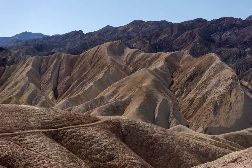
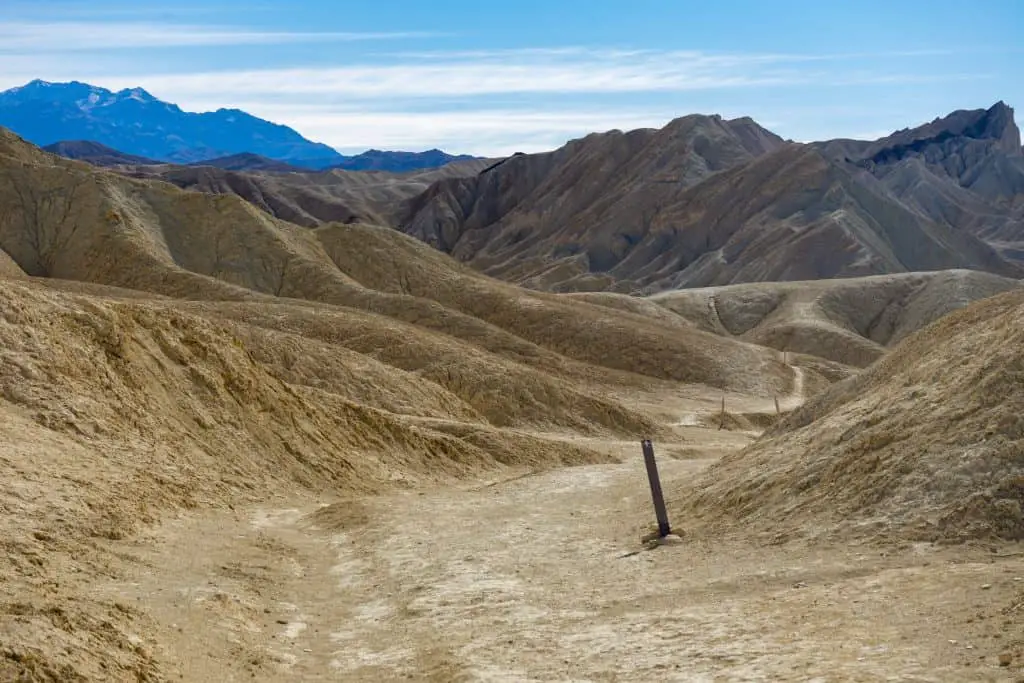
The Golden Canyon trail is one of the most popular hikes in Death Valley National Park, and for good reason. This 6-mile, out and back trail brings you along the Badlands to Zabriskie Point, around Manly Beacon to the Red Cathedral, and into the canyon flanked by golden rock walls.
One of the great things about the Golden Canyon trail is you can really choose your own adventure as it can be combined with the Gower Gulch Loop or shortened to just hiking to the Red Cathedral.
In this post, I’ll share with you everything you need to know about safely completing the Golden Canyon Trail.
This post contains affiliate links, which means that, at no additional cost to you, I will earn a tiny bit of income if you decide to make a purchase or booking. For more, check out my disclosure.
My Favorite hiking Resources
- Find cool hiking trails with the AllTrails app
- Stay blister free with Darn Tough socks
- All of my favorite hiking gear (boots, backpacks, water bladders etc)
- Check out my day hike packing list
Where is the Golden Canyon Trail Located?
The Golden Canyon Trail is centrally located in Death Valley with two possible trailheads just a few minutes from the hotels and campsites of Furnace Creek. One Trailhead is located at the Zabrisikie Point lookout along Highway 190, the other is off of Badwater Rd.
Each trailhead has a small parking lot with vault toilets.
How Long is the Golden Canyon Trail?
It is a 6 mile out and back trail. The natural halfway point is the stunning Red Cathedral. It’s 1.5 miles from both the Golden Canyon and Zabriskie Point Trailheads.
Therefore, you could shorten this hike to 3 miles by making the Red Cathedral the turning point.
How Difficult is the Golden Canyon Trail?
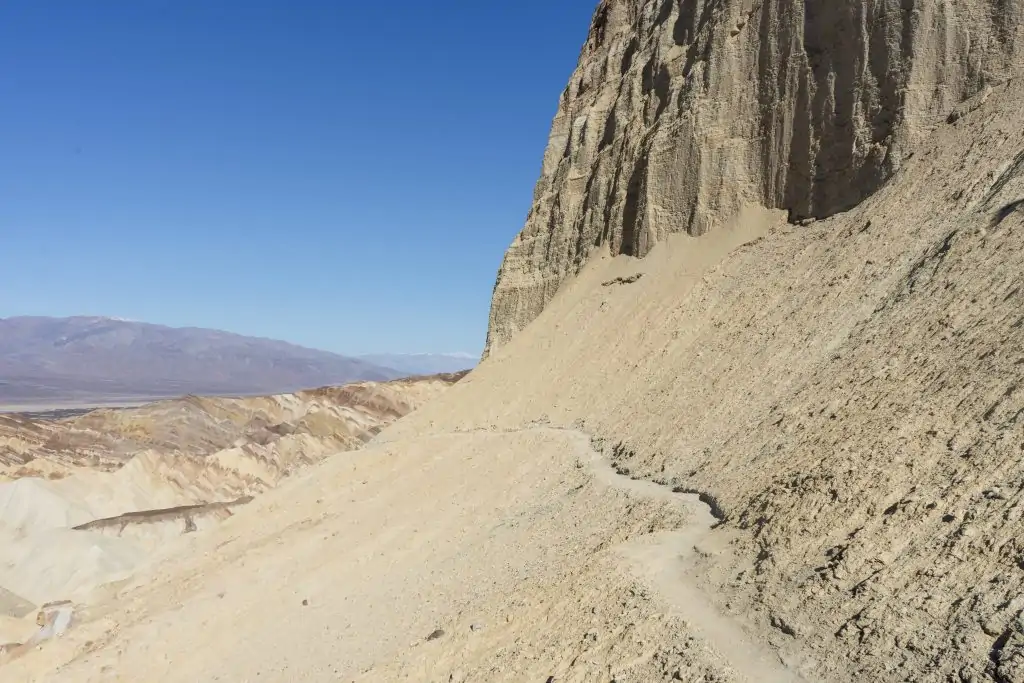
Personally, I’d rate it as challenging as there are a few steep inclines/declines, the trail is completely exposed, and at times the path narrows along the cliff’s edge.
That being said, I was not in the greatest hiking shape when I completed this hike and forgot my hat and sunglasses in the car (don’t recommend that)!
Side note: if you want to get right up under the Red Cathedral, there is some rock scrambling involved.
The difficulty will definitely increase if you’re hiking this in the summer months (don’t recommend) or midday as there is no relief from the sun!
One thing that I really like about this trail is that it is incredibly well marked. And paths that look like they could be the trail are marked with signs that say it’s not the trail or are blocked with loose rocks.
5 Mistakes to Avoid on the Golden Canyon Trail
Hiking in the desert is not something to take lightly. There are a few things to avoid to ensure you have a great experience on the trail.
- Not bringing enough water. Always bring more than you think you’ll need. I carried 2L of water with me and it was bone dry 10 minutes before I got back to my car.
- Not bringing snacks. Keep your energy up with your favorite hiking snacks. Salty and high caloric snacks are the best option
- Hiking mid-day. Even in the winter, the midday sun is strong. Hike first thing in the morning or the evening before the sun goes down.
- Hiking this during the summer. Temperatures in Death Valley are intense during the summer. Upwards of 105 degrees. Do not try to hike this in the summer – I can’t even imagine.
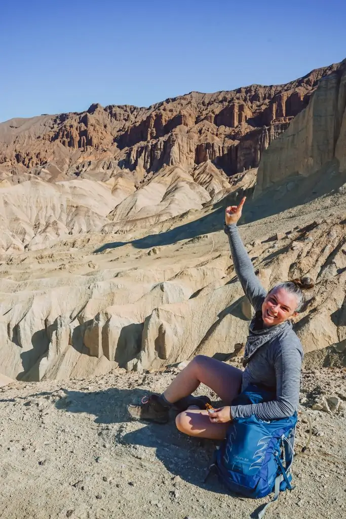
- Wearing inappropriate clothing. Make sure you have a wide-brimmed hat, comfortable hiking clothes, and sturdy hiking boots. I chose the wrong clothes for this hike and left my hat and sunglasses in the car. I’m 99% sure this resulted in sun burning my eyes during the hike.
Hiking the Golden Canyon Trail
Now that you have an overview of the Golden Canyon Trail, let’s dive a bit deeper into how to complete this Death Valley hike. You have two options for where to start this hike, Zabriskie Point Trailhead or Golden Canyon Trailheadal. I’m going to share the pros and cons of each so you can decide which works best for your trip.
Zabriskie Point Trailhead to Golden Canyon Trailhead
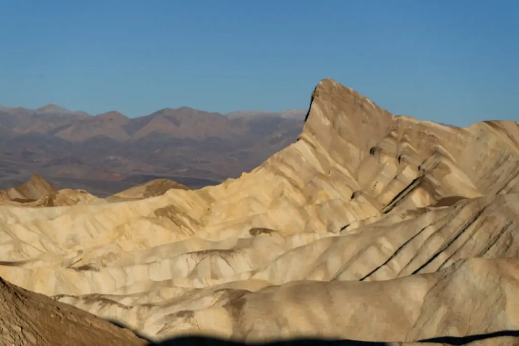
I started the hike from the Zabriskie Point Trailhead just after sunrise. I found the section of the hike from Zabriskie Point to the Red Cathedral (1.5 miles) to be the most beautiful. However, it is also the most challenging section. The trails are narrow, exposed, and at times, right on the cliff’s edge!
Also, the walk from Zabriskie Point to Golden Canyon is all downhill. The steeper declines occur in the first 1.5 miles, especially around Manly Beacon. It becomes a steady, almost imperceptible decline through the Canyon.
I’d suggest starting the Golden Canyon Hike at Zabriskie Point if:
- You start during sunrise
- Want to shorten the hike to 3 miles and see Zabriskie Point, Manly Beacon & the Red Cathedral
- Still want a decent workout
- Are utilizing the shuttle method and hiking from trailhead to trailhead, being picked up at the Golden Canyon Trailhead
Golden Canyon Trailhead to Zabriskie Point Trailhead
If you’re the type of hiker who likes to get the tough part of the hike over with in the first half, then start at Golden Canyon as you’ll be going up the inclines!
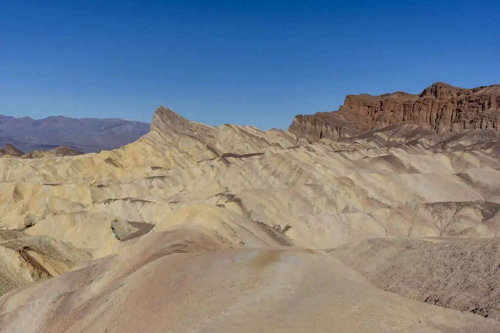
The first 1.5 miles of the hike to the Red Cathedral is very wide as it carves through the high canyon walls. While there is an incline, it’s not as steep as the second half of the trail. If you’re looking for a shorter, less challenging hike, you could easily do the first half from this direction.
Once you hit the Red Cathedral, the path narrows and winds up around Manly Beacon then through the badlands.
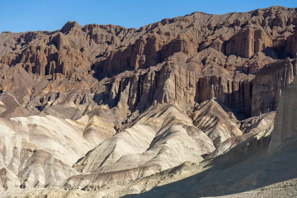
You’ll be nicely rewarded at the end however as you can look out over the entire landscape from the lookout point. It’s a beautiful view to catch your breath and prepare for the return journey.
I think that hiking the trail in this direction would be beautiful at sunset. You could time it so that you arrive at the overlook as the sun sets behind the Panamint Mountain Range. If you do this, be sure to bring a headlamp for the hike back!
I’d suggest starting the Golden Canyon Hike at Zabriskie Point if:
- You plan to start close to sunset
- Want a shorter hike without steep inclines
- Like a rewarding view after your hiking effort
Golden Canyon – Gower Gulch Loop
There was an option to make this trail into a loop, however, I did not follow that path so I can’t speak to it. This would make it an 8-mile hike and still include Manly Beacon, the Badlands loop, and the Red Cathedral.
If you prefer loops to out and backs, I suggest stopping at the Furnace Creek Visitor Center to get the ranger’s input.
Use the Shuttle Method to Hike the Golden Canyon Trail
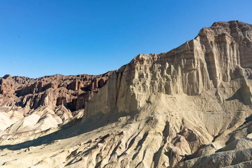
There is a sneaky fourth option that would only work if you are traveling with other people and have two cars.
You could do the shuttle method. Parking a car at one trailhead, then drive to the other and start the hike from there. This works if you want to do the entire hike, but only 3 miles. You’ll be able to see Zabriskie Point, Manly Beacon, and the Red Cathedral this way!
What to Wear for the Golden Canyon Hike
If you’re starting this hike at sunrise or ending after sunset, you’ll need to wear layers. Remember the desert temperatures drop once the sun goes down.
Suggest attire for the Golden Canyon Hike
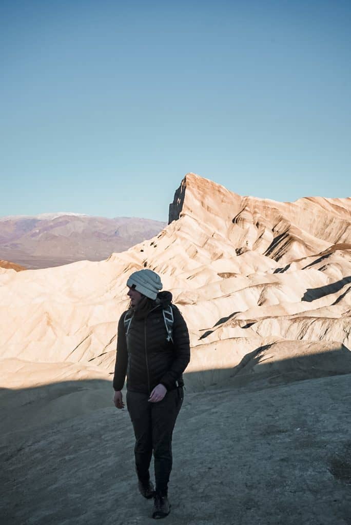
- Pre sunrise: Long pants/leggings, fleece or puffy coat, beanie.
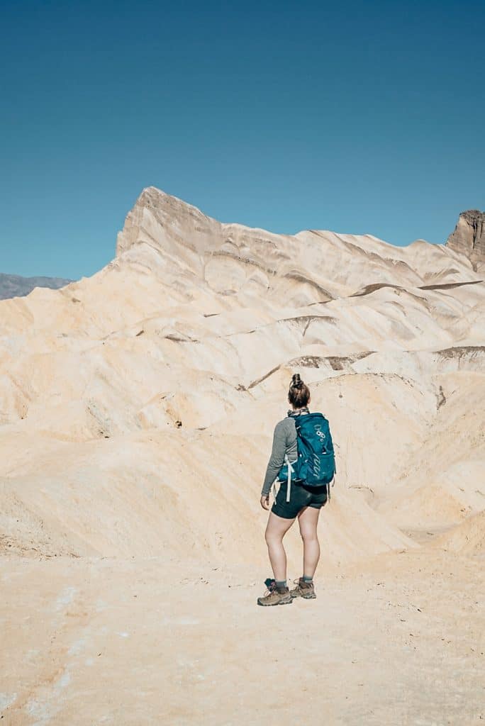
- Post sunrise: Shorts, long sleeve shirt, lightweight clothing, wide brim hat, sunglasses, sunscreen.
- On your feet: Sturdy hiking boots, Darn Tough socks (the best hiking socks in the world)
I started at sunrise with joggers, a puffy coat, and a beanie. On my return, I’d stripped down to shorts, a long sleeve shirt, and a bandana (forgot my hat). I don’t have the best desert hiking clothes, but I saw quite a few hikers with lightweight long pants and long sleeve shirts that looked like a solid option. This will protect you from the sun and keep you cool.
What to Bring for the Golden Canyon Trail
I started with my base day hike packing list, then added on specific items for hiking in the desert.
- Water: Make sure you bring more than enough water. For reference. I started the hike at 6:30 am and finished around 10 am. It was around 50-55 degrees when I returned to my car. I took the last sips from my 2L water bladder about 10 minutes before I finished the hike. On my return, the sun had risen so any shade I’d had from the canyon walls on my way out was gone. Even though the temperature was technically cool, it felt hotter as the trail is completely exposed and physically challenging.
- Snacks: Also, make sure to bring snacks. My favorite hiking snacks are Lara Bars, dried fruit, and jerky.
- Hiking poles would be a good option for this hike as well. Especially for the steep declines and if you’re planning on scrambling to get to the bottom of the Red Cathedral.
- A camera. This is a beautiful hike, you’ll likely want to take some photos along the way.
- Map: Even though this trail is well marked, it’s always a good idea to bring a map, whether it’s a physical one or on your phone. I like to use the All Trails app. You can download the trail map offline to be used when you don’t have service. Which you won’t, so make sure to download the map before you get to Death Valley – somewhere that you have good WiFi.
After reading this post about hiking the Golden Canyon Trail in Death Valley National Park, do you feel confident about hiking it? Don’t worry about hiking this trail solo either. It’s fairly heavily trafficked, you’ll pass plenty of people along the way!
Check out these other posts about things to do in Death Valley
How to Spend One Day in Death Valley
How to See Zabriskie Point at Sunrise without the Crowds
Tips for Driving Artist’s Drive & Artist’s Palette in Death Valley
Where to Stay in Death Valley National Park
Planning a California National Park Road Trip? Check out these other parks!
How to Spend One Day in Joshua Tree National Park
The Best Hikes in Pinnacles National Park
